

Nor'easter forecast: When will the rain, heavy wind stop in NY, NJ?

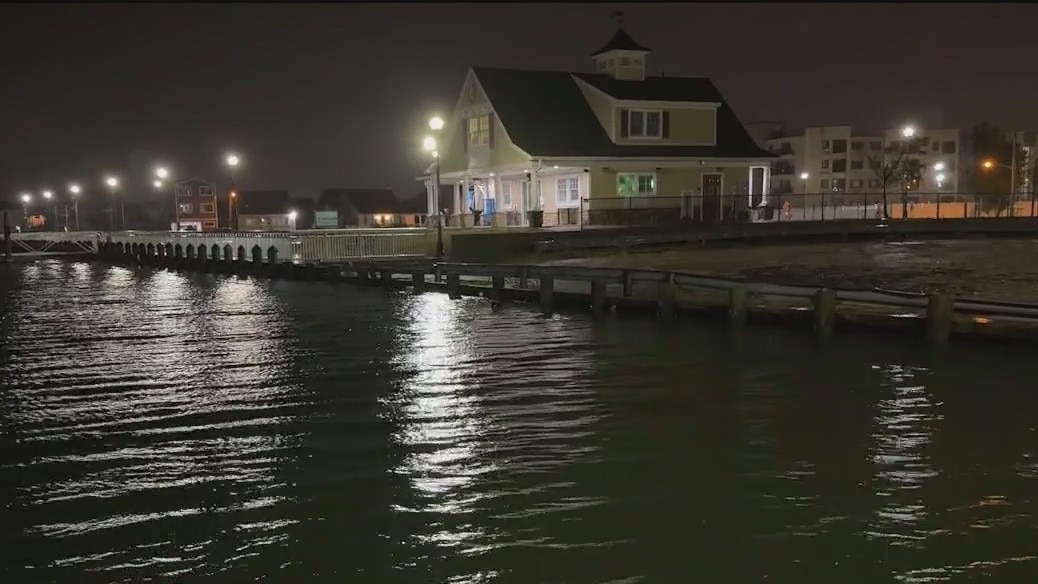
NEW YORK CITY - A state of emergency remains in effect for New York City, Long Island and Westchester County as a weekend nor’easter is slamming portions of the Tri-State area with heavy rain, strong winds and coastal flooding.

This graphic shows wind alerts in effect because of the nor'easter. (FOX Weather)
The state of emergency applies to the Bronx, Kings, Nassau, New York, Queens, Richmond, Suffolk and Westchester counties.
State of emergency NJ
Meanwhile, acting New Jersey Gov. Tahesha Way said all 21 counties in the Garden State were in a statewide emergency that went into effect on Saturday due to the storm’s threat.
- MORE: Flooding and rough surf close roads, beaches in Jersey Shore counties
- MORE: Nor'easter power outage tracker: Live maps, airport updates for NY, NJ, CT
- MORE: Nor'easter rain totals: Here's how much fell in parts of NY, NJ, CT
What's the weather for today?
What's next:
Here's what to expect on Monday and moving forward into Tuesday:
Nor'easter update on Long Island
FOX 5 NY's Briella Tomassetti has the latest on the nor'easter from Freeport, Long Island.
- Moderate to major coastal flooding possible.
- High tides running 2'-3' above normal.
- Wind gusts 50-60 mph.
- Heavy rain, 1"-3" likely.
"We'll see pockets of rain, which will be heavy at times," FOX 5 NY’s Mike Woods said. "Gusty winds again, that high tide cycle in the coastal regions is when we have the worst of it. Still forecasting some heavy showers tonight into early tomorrow morning, and then after that, we should catch a break, but it takes a while to get out of here."
"Widespread minor to isolated MODERATE/MAJOR coastal flooding for the south shore bays of Nassau and southwestern Suffolk counties during this afternoon’s high tide cycle," the National Weather Service (NWS) said. "Widespread minor to moderate coastal flooding threat for the remainder of the coastline."

This graphic shows coastal flood alerts in effect because of the nor'easter. (FOX Weather)
Weather NYC today hourly
- Monday: Rain. High near 61. Breezy, with a northeast wind 21 to 23 mph, with gusts as high as 34 mph. The chance of precipitation is 90%.
- Monday night: Rain begins to taper, though another inch or so is possible on parts of Long Island and Connecticut. Cloudy, with a steady temperature around 60. Breezy, with a northeast wind around 21 mph. The chance of precipitation is 70%.
- Tuesday: A 30% chance of rain, mainly before 8 a.m. Mostly cloudy, with a high near 63. North wind 14 to 17 mph.
The backstory:
New York Gov. Kathy Hochul made the state of emergency announcement on Sunday evening.
"Due to the ongoing nor’easter, I’m declaring a State of Emergency for NYC, Long Island and Westchester," New York Gov. Kathy Hochul said on Sunday night in a post on X. "We’re ready to assist local partners as damaging winds and heavy rain move in, with the potential for flooding and power outages."
Nor'easter update on Long Island
FOX 5 NY's Briella Tomassetti has the latest on the nor'easter from Freeport, Long Island.
Because of the inclement weather and the State of Emergency, New York City’s Columbus Day Parade was forced to be canceled.
"Due to the Governor’s declaration of a State of Emergency on the evening of October 12 in response to the dangerous weather conditions brought on by the nor’easter, including high winds, heavy rain and flooding in surrounding areas, we must cancel the 81st Annual Columbus Day Parade for the safety of all participants and viewers," officials said in an announcement.
Officials said that the parade cannot be rescheduled and will be held again in 2026.
What is a nor'easter?
The National Weather Service defines a nor’easter as a "storm along the East Coast of North America, so called because the winds over the coastal area are typically from the northeast."
FOX Weather updates
Nor'easter radar
Click HERE for more information.