

Sunday storms linger through Monday commute as cooler temps return for NYC
NYC weather: Storms on the way Sunday night into Monday morning
A pleasant end to the weekend is unfolding across the New York City area, but changes are already on the horizon as clouds increase and rain chances return.
NEW YORK CITY - A pleasant end to the weekend is unfolding across the New York City area, but changes are already on the horizon as clouds increase and rain chances return.
By the numbers:
A warm front will help boost temperatures for Sunday, with highs climbing into the 60s across the region and near 70 degrees in parts of interior New Jersey.
Clouds will linger, but much of the day will remain dry—at least early on.
What we know:
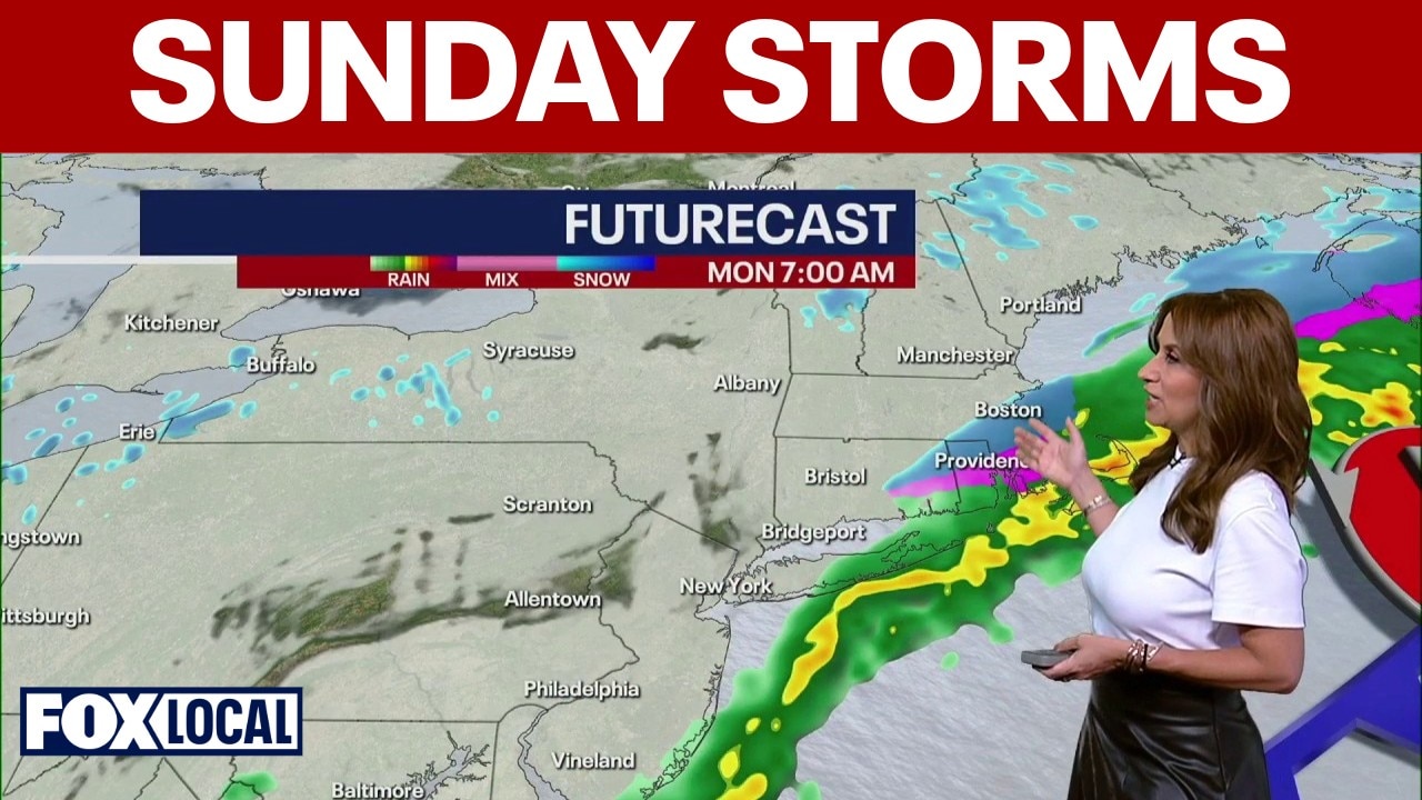
A cold front approaches Sunday afternoon, bringing the next round of unsettled weather.
- Rain showers develop later Sunday afternoon into the evening
- A thunderstorm is possible
- Showers may continue overnight into early Monday morning
If you’re planning to be outdoors, the best window will be earlier in the day before rain moves in.
Behind the front, temperatures drop noticeably. Highs will fall back into the upper 40s by Monday, marking a return to cooler, more typical conditions for late March.
What's next:
The unsettled pattern doesn’t end there. Another chance of rain arrives Wednesday night, followed by a possible spot shower on Thursday.
Conditions improve midweek as high pressure builds in, bringing a stretch of drier weather.
The Source: Information from this article was provided by the FOX 5 Weather Team.