

NYC, NJ Nor'easter: Which part of the Northeast will be hit the hardest?
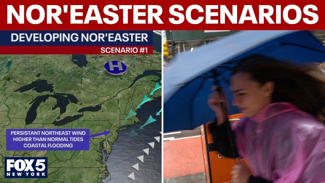
Potential nor'easter scenarios for NYC: Meteorologist breakdown
FOX 5 NY's chief meteorologist Nick Gregory breaks down different scenarios of how the nor'easter may hit New York City this weekend.
NEW YORK - Weather forecasters on Wednesday are growing increasingly confident a late-week coastal storm will impact the New York City area with gusty winds, high surf and potential coastal flooding through the weekend.
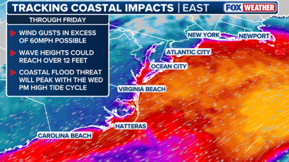
While the potential nor'easter will bring prolonged periods of strong winds and elevated tides along the New York, New Jersey and Connecticut coasts, the National Weather Service's latest update continues to show some uncertainty with the track of the storm and local rainfall totals.
Tri-State weather timeline
Timeline:
Coastal impacts are expected to begin mid-week, with tidal flooding starting Wednesday afternoon across the Delaware and Chesapeake Bay regions, expanding down to the Virginia Tidewater by Wednesday night. Strong onshore winds will build through Thursday, pushing water inland and causing hazardous ocean conditions along the Mid-Atlantic coastline.
- MORE: Nor'easter to batter East Coast with severe flooding, high winds: When to expect the storm
- MORE: Nor'easter or not: Will NYC, NJ see a major storm this weekend?
The storm will intensify as it moves toward the I-95 corridor Friday into Saturday, bringing peak wind gusts of 35 to 50 mph and high ocean swells to the region. Widespread coastal flooding is expected to peak during high tides from Friday into Saturday, creating a threat of severe beach erosion and dune damage for coastal areas surrounding New York City, Philadelphia, and Washington D.C. before the system gradually moves out through the weekend.
- Wednesday: Wind gusts generally reach 25–30 mph across New York City and inland areas, with coastal spots like Montauk seeing up to 36 mph and 45 mph further offshore as the storm develops.
- Thursday: Winds strengthen to 30–35 mph across NYC and western Long Island, with eastern Long Island reaching 39 mph. Wind gusts strengthen to 49–55 mph offshore as the storm intensifies.
- Friday-Sunday: Peak wind gusts reach 35-50 mph across the Tri-State area. The strongest gusts are forecast across southeast Connecticut and eastern Long Island. There may be widespread minor-to-moderate coastal flooding that peaks during high tide Friday afternoon into Saturday, with southern Nassau, Queens and coastal Connecticut west of New Haven at a greater risk.

Possible nor'easter threatens Northeast with coastal flooding and high tides
Meteorologists are tracking a potential nor'easter off the East Coast that could bring coastal flooding, strong wind gusts and widespread rain. Unfavorable coastal impacts are expected into the weekend regardless of the storm's exact offshore track.
Ocean beaches on Long Island and in New Jersey may see hazardous rip currents, high surf and localized beach erosion.
Forecast models disagree on storm's track
What we don't know:
The uncertainty with this storm stems from the European Model bringing the low closer to the shore as a stronger storm, while the GFS (American) Model keeps it farther out to sea.
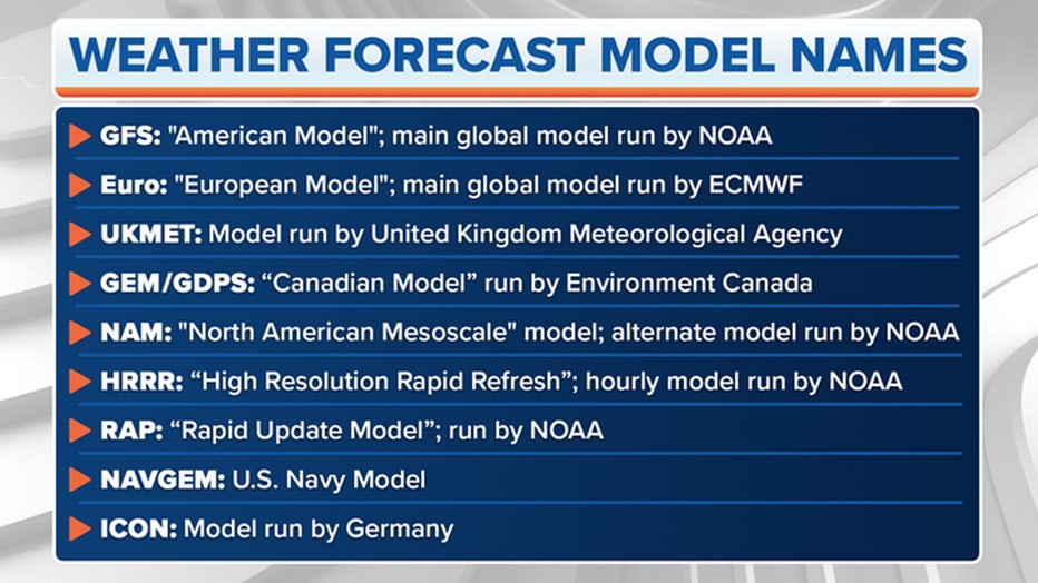
Photo credit: FOX Weather
- The GFS Model keeps the low farther out to sea. If this happens, New York City will largely remain on the outskirts of the storm, experiencing breezy conditions and some rain, but avoiding the worst of the flooding.
- The European Model brings the low closer to the shore as a stronger storm. If the storm shifts closer to New Jersey, NYC will be directly in the path for heavy rain, 50 mph wind gusts, and major storm surge.
Regardless of the final track, forecasts agree that persistent waves and high astronomical tides will cause significant dune damage and structural flooding along Long Island and Queens coastlines. Any significant rainfall totals from the storm will depend on how close to shore it ultimately gets.
The Source: This article is based on the National Weather Service's Sept. 23, 2026, New York update and published information from FOX Weather.