

New York snowfall reports

Debating the merits of snow
The snow fatigue is really starting to set in for people across the region. FOX 5 NY speaks to people in Westchester County about their emotional exhaustion.
NEW YORK - A powerful winter storm is moving through the Northeast on Thursday and Friday, bringing snow, sleet, and freezing rain. The National Weather Service has posted weather alerts across parts of New Jersey, New York, and Connecticut.
The forecast calls for between 3 and 9 inches of snow, depending on the location. Here are snow reports from several areas in New York.
Bronx County
East Tremont 1.0 in 1000 AM 02/18 Amateur Radio
Kings County
1 WNW Crown Heights 3.6 in 1230 PM 02/18 Trained Spotter
3 SE Flatbush 2.0 in 1100 AM 02/18 Emergency Mngr
2 W Flatbush 2.0 in 1000 AM 02/18 Public
Bay Ridge 1.0 in 0802 AM 02/18 Public
Download the FREE Fox 5 NY weather app and always stay updated on storms. iOS from Apple App Store or Android from Google Play Store
Nassau County
Levittown 3.0 in 1210 PM 02/18 Public
Syosset 2.9 in 1200 PM 02/18 Trained Spotter
New Hyde Park 2.7 in 1200 PM 02/18 Trained Spotter
West Hempstead 2.5 in 1209 PM 02/18 Public
Carle Place 2.3 in 1215 PM 02/18 NWS Employee
East Williston 2.0 in 1115 AM 02/18 Public
2 WSW North Wantagh 1.5 in 1045 AM 02/18 Fire Dept/Rescue
Seaford 1.4 in 1040 AM 02/18 Public
New York County
1 N Battery Park 4.0 in 1150 AM 02/18 Public
Central Park 3.2 in 0100 PM 02/18 Official NWS Obs
1 N New York 2.5 in 1215 PM 02/18 Cocorahs
Washington Heights 2.5 in 1058 AM 02/18 Public
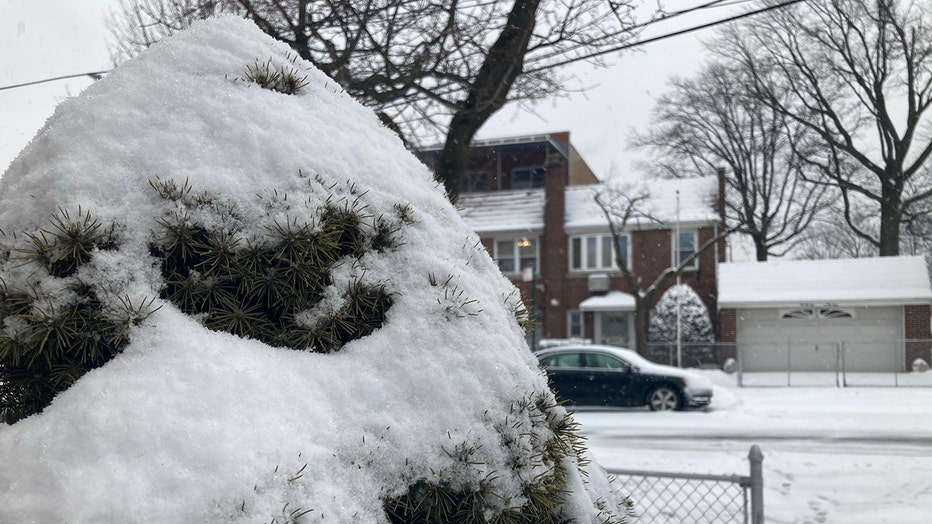
A snow street in Queens, N.Y., Thursday, Feb. 18, 2021. (FOX 5 NY Photo by Arun Kristian Das)
Queens County
Whitestone 3.5 in 1200 PM 02/18 Trained Spotter
1 WSW Elmhurst 3.4 in 1200 PM 02/18 Public
Bayside 3.1 in 1151 AM 02/18 Public
NYC/JFK 3.0 in 0100 PM 02/18 Official NWS Obs
NYC/La Guardia 2.6 in 0100 PM 02/18 Official NWS Obs
Flushing 2.0 in 1132 AM 02/18 Trained Spotter
Astoria 1.6 in 1258 PM 02/18 NWS Employee
Jamaica 1.0 in 1000 AM 02/18 Trained Spotter
Richmond County
1 ESE Annadale 2.8 in 1100 AM 02/18 Public
Westerleigh 2.6 in 1140 AM 02/18 Public
Rockland County
Chestnut Ridge 1.2 in 1030 AM 02/18 Public
Suffolk County
2 S Deer Park 3.5 in 1215 PM 02/18 Public
1 WNW Babylon 3.3 in 1145 AM 02/18 Public
Stony Brook 3.1 in 0100 PM 02/18 NWS Employee
Babylon 3.0 in 0115 PM 02/18 Public
2 ESE Kings Park 2.7 in 1200 PM 02/18 Trained Spotter
Farmingville 2.5 in 0100 PM 02/18 NWS Employee
Upton 2.4 in 0100 PM 02/18 Official NWS Obs
Islip Airport 2.2 in 0100 PM 02/18 Official NWS Obs
Bay Shore 2.2 in 1239 PM 02/18 NWS Employee
1 NW Lindenhurst 1.5 in 0950 AM 02/18 Public
Westchester County
3 NNW Goldens Bridge 3.0 in 1240 PM 02/18 Public
Croton-on-Hudson 3.0 in 1218 PM 02/18 Public