

NYC storm forecast: How much will it rain? Flood Watch issued

Weather Forecast
More rain is on the way for most of the week. FOX 5 NY's meteorologist Mike Woods has the latest.
NEW YORK - The rain has really mist things up for much of the NYC area over the last few days, and it's not done yet, the weather forecast shows. TRACK LIVE RADAR HERE.
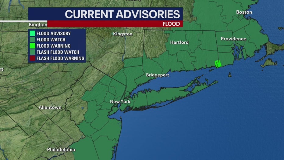
A flood watch was issued for much of NYC, the Hudson Valley, NJ, CT, and all of Long Island starting this afternoon at 1 p.m. through 6 a.m. on Thursday.
The powerful rainstorm is soaking the region, with windspeeds of 14 to 17 mph.
Temperatures will remain mild and steady, around 51 degrees for most of the storm.
The heaviest rainfall will be Wednesday night with a little over 2 inches possible.
How much rain is expected for the Tri-State?
The city could see a little over 2 inches by Thursday evening, while parts of Long Island and southern Connecticut could see nearly 3 ½ inches locally. Areas further east aren't threatened by as much rainfall.
The region will see between a tenth and a quarter of an inch from Thursday morning into the afternoon.
Storming's track
The strongest winds are expected during Thursday's morning commute between 7 a.m. and into late afternoon.
NYC will finally catch a break on Friday, with sunny skies and a high of 55!
Don't get too excited though, because minor coastal flooding is still a concern for the weekend.
Rain returns for the weekend, with the potential for another 1 to 2 inches. Additional flooding is possible.
To see the full list of advisories, watches and warnings for the NYC area, click HERE.
Flooding
New York City and northern New Jersey saw about ½ an inch of rain Tuesday, with lower totals on Long Island and Connecticut.
Moderate flooding is expected along the South Shore and Long Island.
"Soil moisture is running 60-80% above normal, with a majority of area rivers and streamflows running above to much above normal," according to the NWS. "This will allow for rainfall to more quickly become runoff and flooding. Each successive rain event will further elevate soil moisture and stream flows, increasing the urban and river flood threat."
Significant flooding threats are possible throughout the entire area, according to the National Weather Service. Monitor river threats here.