

NYC weather timeline: Severe storms, flash flooding possible Saturday
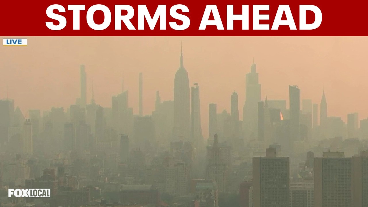
NYC Weather: Wildfire haze lingers, storms move in before sunny Sunday
Canadian wildfire smoke and hazy conditions remain across the tri-state area, with sensitive groups urged to take precautions. Storms are expected Saturday before clearing overnight, setting up sunny skies and temperatures in the mid-80s for Sunday’s World Cup final.
NEW YORK - Severe thunderstorms and heavy rain could hit the NYC area Saturday, bringing the risk of flash flooding, damaging wind gusts and an isolated tornado.
What we know:
The National Weather Service says multiple rounds of heavy downpours and thunderstorms are expected late Saturday morning into Saturday evening across the New York City region.
Forecasters said scattered instances of flash flooding and severe thunderstorms are possible.
A flood watch is in effect from 10 a.m. Saturday until 2 a.m. Sunday for northeast New Jersey, New York City and southern Westchester.
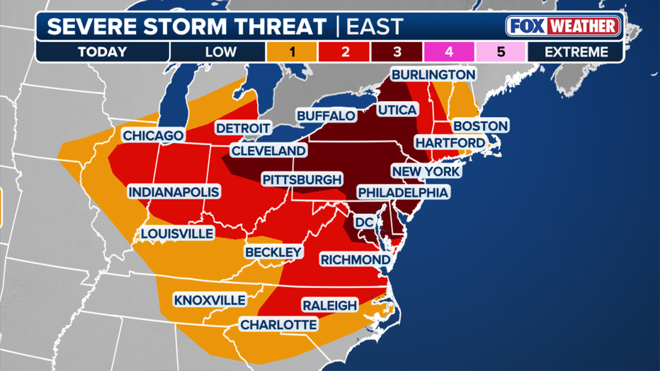
Saturday severe storm threat. (FOX Weather)
The exact timing and location of the strongest storms may not be clear until a few hours before they develop, according to the National Weather Service.
Flash flooding threat
The National Weather Service says average rainfall totals are expected to be around 1 to 1.5 inches, but localized swaths of 2 to 4 inches are possible.
Rainfall rates could reach 1.5 to 2 inches per hour, with 2 to 3 inches possible in a three-hour period.
Forecasters said isolated to scattered flash flooding could occur in urban, poor-drainage and low-lying areas.
The flooding could be locally significant, potentially causing transportation disruptions, basement flooding and water rescues.
The highest flash flooding risk is across northeast New Jersey, the NYC metro and southern Westchester.
Severe thunderstorm threat
Damaging wind gusts are the main severe weather concern.
The National Weather Service says gusts of 60 to 70 mph or higher are possible, which could damage trees and power lines and cause power outages.
The highest damaging wind risk is across northeast New Jersey, the NYC metro and the Lower Hudson Valley.
An isolated tornado is also possible, with the highest risk across northeast New Jersey into the NYC metro.
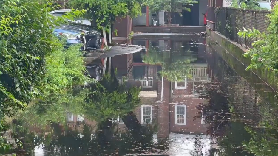
Flooding in Forest Hills (July 18, 2026)
Smoke and beach hazards
Smoke is expected to continue affecting the area through Saturday afternoon, according to the National Weather Service.
Dangerous rip currents are also expected at ocean beaches through Saturday evening.
Anyone heading to the beach should avoid swimming near jetties, piers and rocks, and should only swim where lifeguards are on duty.
When storms could hit
The storm threat runs from late Saturday morning through Saturday evening.
The strongest risk window may vary by location.
NWS timing graphics show the severe thunderstorm risk increasing around midday and continuing through much of the afternoon and evening for New York City, northeast New Jersey, Long Island and southern Connecticut.
What to do before storms arrive
People in flood-prone areas should be ready for quickly changing conditions Saturday.
Do not drive through flooded roads. Water may be deeper than it looks, and vehicles can stall or be swept away.
Secure loose outdoor items before storms arrive, keep phones charged and have a way to receive weather alerts.
If a severe thunderstorm warning or tornado warning is issued, move indoors, stay away from windows and go to the lowest level of the building if possible.
The Source: This article was written using information from the National Weather Service’s New York office.