

2.3 magnitude earthquake reported near Sleepy Hollow
2.3 magnitude earthquake reported near Sleepy Hollow
The earthquake was reported at 10:17 a.m., roughly half a mile from the town of Sleepy Hollow. FOX 5 NY's Dan Bowens and Liv Johnson have the latest.
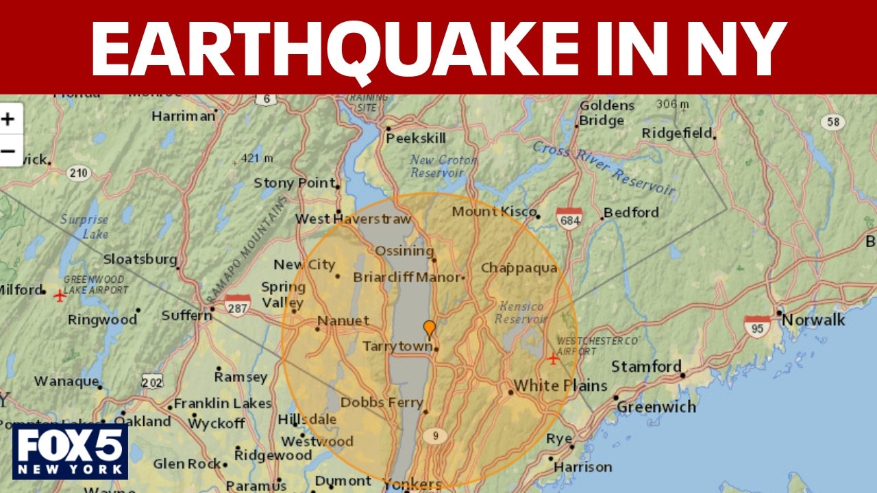
NEW YORK - A 2.3 magnitude earthquake struck near Sleepy Hollow on Tuesday, according to the U.S. Geological Survey.
What we know:
The earthquake was reported at 10:17 a.m., roughly half a mile from the town of Sleepy Hollow.

According to U.S. Geological Survey data, the earthquake was 4.6 miles beneath the surface.
A magnitude 2.3 earthquake is considered minor and is often not felt by most people, though it can sometimes be detected by seismographs.
There have only been 20 earthquakes of at least a 2.3 magnitude in this vicinity since 1950, making this a rare occurrence, according to FOX Weather.
Where is Sleepy Hollow?

[UNVERIFIED CONTENT] Tappan Zee Bridge, Sleepy Hollow lighthouse, New York, Hudson River.
Sleepy Hollow is a historic village in Westchester County, New York, situated along the eastern shore of the Hudson River, roughly 30 miles north of New York City.

SLEEPY HOLLOW, NEW YORK, UNITED STATES - 2014/10/26: Gate to Sleepy Hollow Cemetery. (Photo by John Greim/LightRocket via Getty Images)
Once called North Tarrytown, it is best known as the backdrop for Washington Irving’s "The Legend of Sleepy Hollow" and is home to notable sites including the Old Dutch Church and Sleepy Hollow Cemetery.
This is a breaking news story. Check back for updates,
The Source: This report is based on information from USGS.