

Offshore nor'easter drives tidal flooding, 40 mph wind gusts along Jersey Shore
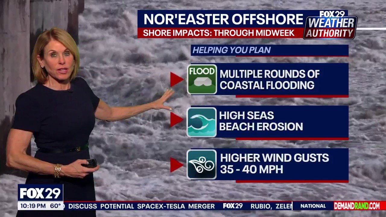
Weather: Nor-easter offshore and sunny skies Wednesday
FOX 29 Meteorologist Kathy Orr breaks down what to expect in weather the remainder of this week.
NEW JERSEY - An offshore nor'easter continues to churn off the coast, bringing rough surf, gusty winds and multiple rounds of tidal flooding to New Jersey and Delaware waterways.
While inland communities across the Philadelphia area will see little to no impact, forecasters warn that elevated winds and waters will create hazardous conditions along the shore, bays and tidal rivers through Wednesday night.
Coastal flood threats
A Coastal Flood Advisory remains in effect across the Jersey Shore, coastal Delaware and along tidal portions of the Delaware River through Wednesday evening's high tide cycle.
According to the National Weather Service in Mount Holly, Wednesday evening's high tide is the primary concern, with widespread minor to low-end moderate tidal flooding possible, especially in back bay communities. Multiple rounds of tidal flooding are expected to linger through at least Wednesday night.
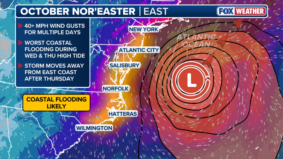
Expected nor'easter impacts (FOX Weather)
Wind gusts and marine hazards
Northeasterly winds will persist across the region, with the strongest winds focused along the immediate coastline. Coastal areas from Ocean County south to Cape May and Bethany Beach could see wind gusts reach 35 to 40 mph. Inland areas around Philadelphia and Trenton are expected to see lighter gusts between 20 and 25 mph.
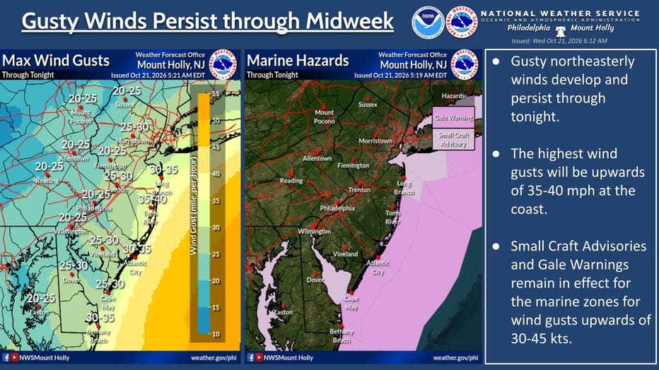
(National Weather Service, Mt. Holly)
Conditions on the water remain dangerous. The National Weather Service has issued Gale Warnings and Small Craft Advisories across marine zones, where wind gusts could reach 30 to 45 knots. Officials urge anyone traveling near or on tidal waters to exercise caution.
The Source: This article was written using information provided by the National Weather Service in Mount Holly.