

First snow of the season? Potential nor'easter impacts for Philly, NYC and DC region
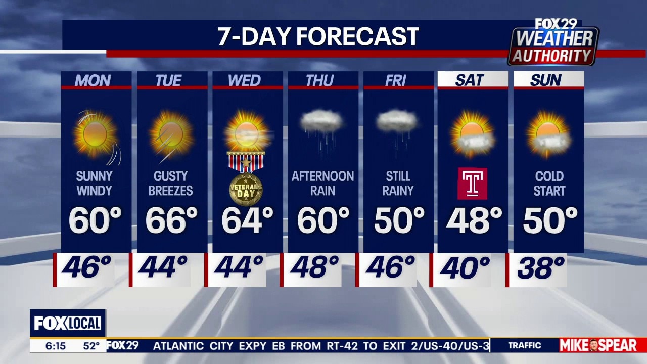
Philadelphia weather: Monday morning forecast
Sunny and windy with a high of 60 degrees on Monday as rain and colder temperatures arrive later this week.
NEW YORK CITY - A developing late-week nor'easter is on track to bring the Northeast its first snow of the season, alongside widespread rain and a steep drop in temperatures.
However, for major cities along the I-95 corridor, including Washington, D.C., Philadelphia, and New York City, the storm is expected to bring mostly rain and a bitter chill.
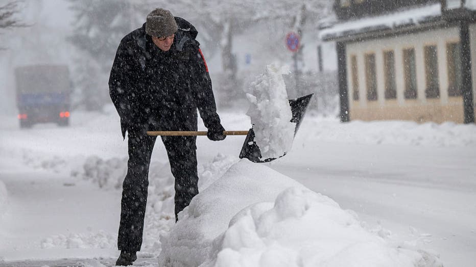
Impacts for DC, Philadelphia, and NYC
Local perspective:
Here's how the potential nor'easter will likely unfold across the region, according to FOX Weather.
Precipitation: As the low-pressure system moves toward the region late Thursday and Friday, the Philadelphia, D.C. and NYC areas are expected to primarily see widespread rain, leading to potential minor travel delays.
Snow potential: Warm ground temperatures and a lack of deep cold air will prevent snow from sticking. While there is a possibility for a brief transition from rain to snow on the storm's back edge as it departs, accumulation is highly unlikely along the immediate I-95 corridor.
Wind and rain: If a secondary low-pressure system develops close to the coastline, NYC, Philadelphia, and D.C. could experience periods of heavier rain and stronger wind gusts. A track further inland or out to sea would leave the cities much drier.
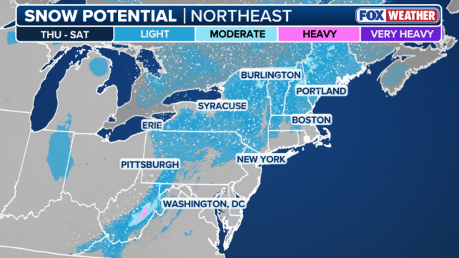
Where will it snow?
Big picture view:
The highest chances of accumulating snow are reserved for higher elevations where the air is noticeably colder.
The most significant snowfall is projected across northern New York, Vermont, New Hampshire, and Maine. Measurable snow could also stretch southward along the Appalachian Mountains, impacting central Pennsylvania and upstate New York.
The National Weather Service predicts these areas could see at least one inch of snow.
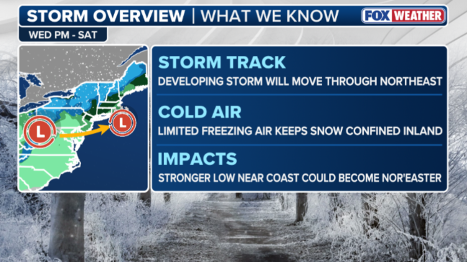
What we don't know:
The exact placement of the storm, along with the amount of snow that may fall, is still unknown as shifts in the track could change its impacts.
Weekend cold snap
By the numbers:
Regardless of the storm's exact track or precipitation type, it will pull a massive blast of cold Canadian air into the eastern U.S. as it exits toward Canada on Saturday.
By the weekend, afternoon high temperatures across the Northeast region will struggle to break out of the 30s and 40s, with overnight lows plunging into the 20s.
The Source: Information from this article was sourced from FOX Weather and the National Weather Service.